Conversation: Serpentine Gallery ~ Edge: Map Marathon
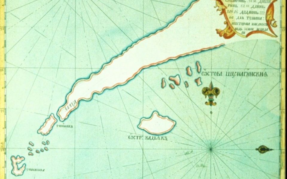
Chart of the Alaska Peninsula and North Pacific Ocean, ca. 1770, by Russian navigator Vasilii Fedorovich Lovtsov. Note that the correct positions of Kodiak Island and the Shumagin Islands have been transposed. During this exploratory period a condition for being licensed to harvest furs in Russian America was to submit charts of the new territory to the Russian crown. I believe the islands were deliberately misplaced to lead competitors astray. What deceptions similar to this 18th-century misrepresentation await us among the data being mapped in the 21st? (courtesy Provincial Archives of British Columbia)

